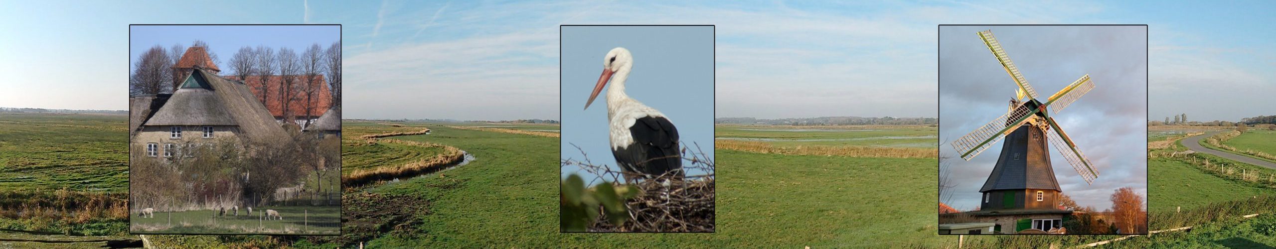
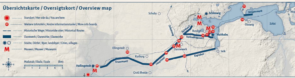
This tranquil little river was an important waterway about 1000 years ago. To avoid the dangerous currents in the Kattegat, the sea area between Jutland and the Swedish west coast, something like a medieval Kiel Canal was used: From the Baltic Sea, it was possible to reach the Viking town of Haithabu via the Schlei. From there, only about 15 km had to be covered overland with oxcarts to reach Hollingstedt, located upstream on the Treene. Archaeological excavations show that Hollingstedt was used as a harbour from the Viking Age on. Afterwards, the ships sailed across the Treene to the Eider, which flowed into the North Sea.
The isthmus between Hollingstedt and Haithabu was protected at this time by the Danewerk, a long rampart approximately 30 km in length. This had already marked the southern border of Danish territory since the 5th or 6th century, but became particularly important in the Viking Age (800-1050 AD). At that time, the site secured the land trade route to Haithabu.
The route across the Treene was perhaps also used by the Vikings’ notorious dragon ships, but these longships were intended exclusively for warfare. More often, merchant ships like the Knorr will have been seen here, perhaps laden with fine glass and ceramic vessels from the Rhineland.
More information about the port of Hollingstedt can be found in the “Hollinghuus” there (on the main road, corner of Nedderend/Klues (Nedderend 1)), information about the Danewerk on the homepage of the Danevirke Museum, and about Haithabu on the homepage of the Viking Museum.