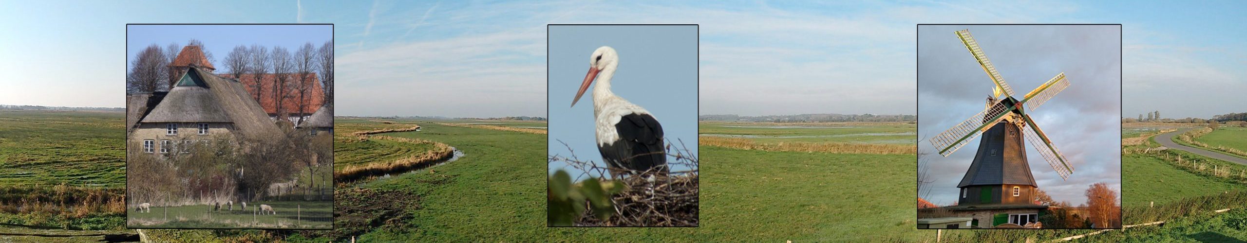
The Eider-Treene-Sorge Lowland is the largest contiguous river and lowland area in Schleswig-Holstein. About 500 square kilometers of agricultural wet grasslands extend along the rivers Eider, Treene and Sorge. Around one third of the moorland bog areas of Schleswig-Holstein can be found here. They provide habitats for white storks and many endangered meadow bird species.
The Holme, or ridges characteristic of the lowlands were formed during the penultimate ice age, the so-called Saale ice age, about 200,000-130,000 years ago. The glaciers spreading southward from Scandinavia pushed sand and debris ahead of them. This material piled up and formed old moraines: today’s geest ridges or Holme.
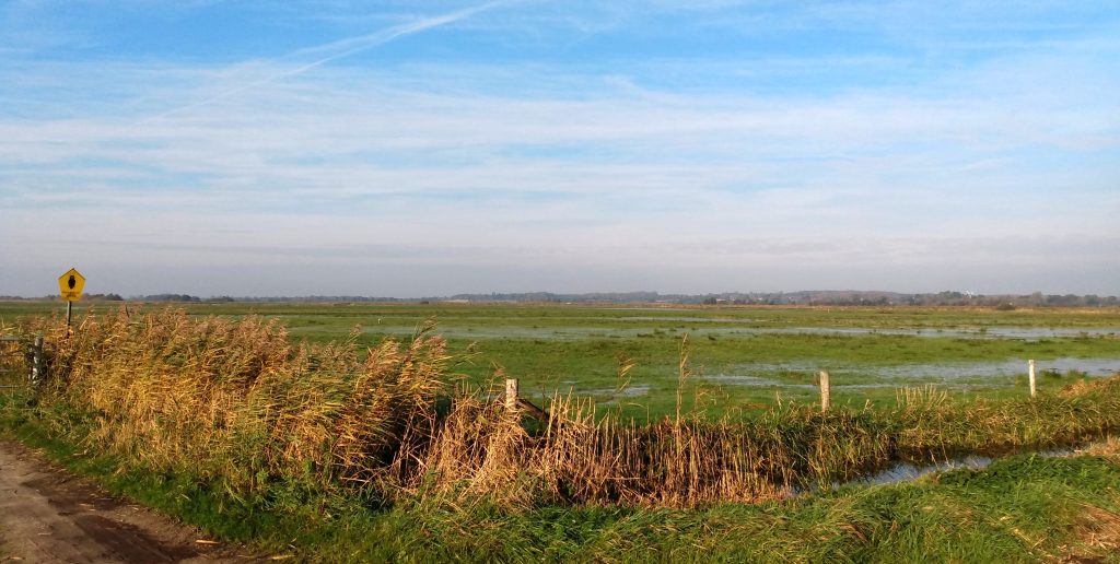
Much of the landscape lies below sea level and used to be regularly flooded during storm and spring tides when the Eider River was tidal far inland. That is why most of the settlements are found on the ridges. The surrounding landscape was dominated by bogs, swamps and shallow lakes.
At the invitation of Duke Friedrich III, Dutch Remonstrants settled in the region in the 17th century and founded Friedrichstadt, named after the duke. The experienced water engineers laid numerous ditches, built pumping stations and began to drain large parts of the surrounding area. For this purpose, even the course of the Sorge was diverted, dividing the river into today’s Neue Sorge and the separated old branch of the Alte Sorge. The Alte Sorge loop is a valuable nature reserve, which also belongs to the municipality of Bergenhusen.
The Eider-Treene-Sorge lowland is an area shaped by man. Its importance as a breeding area for many endangered meadow bird species is due to the trusting cooperation between nature conservation and agriculture and it is both a cultural landscape and a nature reserve today.